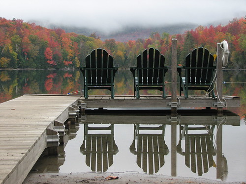
Early morning reflections on Heart Lake
Phelps
Elevation: 4161 ft (1268 m)
Peak: N44 09.420 W73 55.260
Parking lot: N44 10.945 W73 57.769
Distance: 16.2 km
The original plan was tossed. The weather called for 60% rain both Saturday and Sunday and we were no longer going to join Ken in mounting Dix and conquering his 46th peak. Time for plan B. Pack up and go camping at the Loj anyway.
The problem was not everybody bought into Plan B. Rick understandably didn't want to drive all the way down from T.O. to hike in the rain and Mike opted to stay home in his cozy bed. That left just Ken and I willing to throw caution to the wind and go for it. And we're glad we did. The weekend proved to be perfect hiking weather although admittedly the skies didn't clear up completely to allow us the awesome views we've become accustomed to. But it did stay dry.
Ken and I drove down via Ogdensburg making excellent time to Lake Placid where we stopped to pick up some snacks and a survival pack of Long Trail. We then checked in, set up camp, and headed back to the Lake Placid Pub and Brewery for supper (I highly recommend the Pulled Pork BBQ Sandwich). Hunger at bay, we headed back to camp for a fire and some pints.
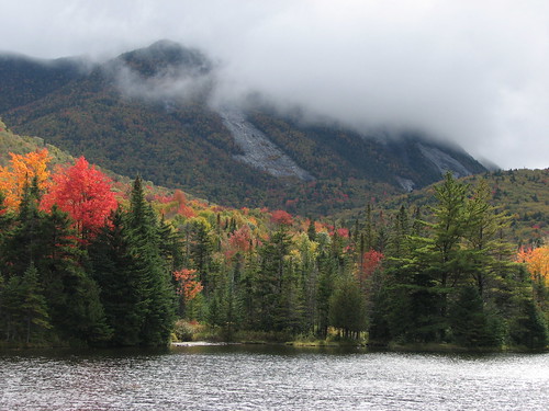
Clouds on Colden
The next morning we woke to find a very gray sky but not a drop of rain. Sweet. A quick bite and a hot cup of joe and we were off to conquer Phelps, peak #32 on the 46er list. We both knew before hand that it was going to be very unlikely that we'd get a great view but hey, what else were we going to do but hike in the ADK? Besides I wanted to knock off another peak.
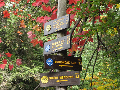
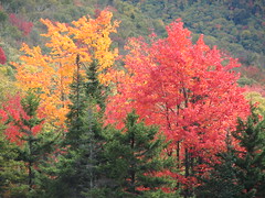
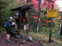
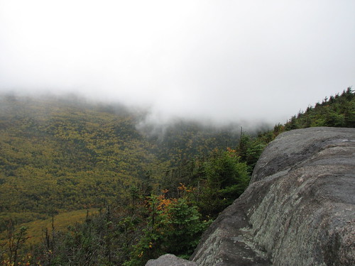
After a fairly flat hike from camp to the Marcy Dam we started our ascent. Some time later we arrived at the top of Phelps to find an empty slab of rock and, as we well expected, the view was less than spectacular. However from time to time the breeze would blow the cloud and fog away and we would be treated to a splash of fall colours. It was actually quite amazing how as the fog would come and go in a matter of seconds giving us a glimpse of the nearby peaks and the yellows and reds in the valley below. Mother Nature's magic show.
Soon the silence was broken as other hikers came rolling in. In a matter of minutes we were surrounded by about 25-30 people milling about eating lunch and chatting. One group was even cooking up some soup in an Irish kettle. Time to go.

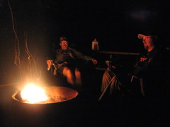
With another peaked bagged we hiked back to camp, showered up and drove into town for some supper. This time we hit the Railway Station Pub and again I was impressed by the food. Then back to the store for a few more snacks and a case of Long Trail Ale and we were ready again to relax around the campfire.
Mt Jo
Elevation: 2887 ft
Peak: N44 11.370 W73 58.010
Distance: 4.5 km
Another morning of rainless gray skies. This time we opted to stroll around Heart Lake with a side jaunt up Mount Jo. Again no view to speak of as we stood on top and imagined what the skyline would look like on a sunny day. At one point a thick mist rolled in and surrounded us with a surreal feeling like we were inside a cloud. In fact, I think technically we were.
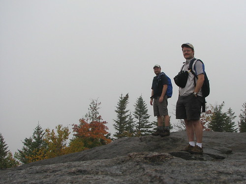
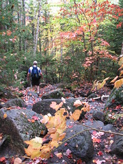
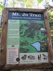
Coming down off Mount Jo, Ken led the way down a side trail that led back to Heart Lake where we veered to the right in order to complete the loop back to camp.
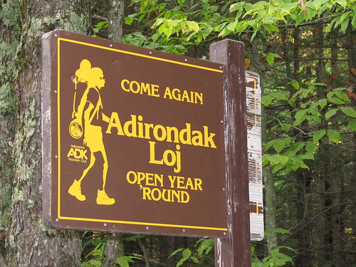
All said and done, we had a great (dry) weekend of camping and hiking. A perfectly executed Plan B. And like the sign says, we'll be back again... soon.
No comments:
Post a Comment