Showing posts with label 46er. Show all posts

Saturday, October 18, 2008

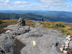
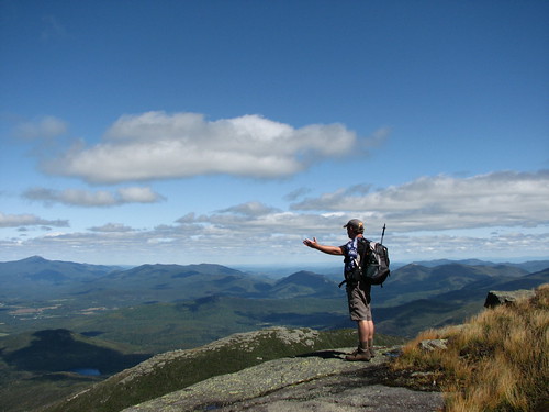
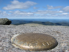
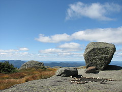
Colvin and Indian Head

Indian Head, Colvin

Colvin
Elevation: 4057 ft (1237 m)
Peak: N44 05.655 W73 50.072
Parking lot: N44 10.945 W73 57.769
Distance: 22.7 km

Not long ago I thought my last hike of the '08 season in the ADK was Big Slide. Boy was I wrong.

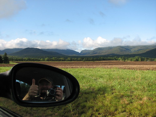
Mike and I left Ottawa before sunrise at about 5:15 am. After several photo ops along the way we arrived at the parking lot a little late but luckily we found a spot and wouldn't have to contemplate parking roadside.

Tupper Lake

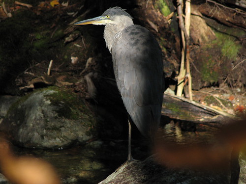
The day was a little chilly but beautiful which of course slowed us down as we stopped here and there for a photo or two. After the golf course and manditory hiker sign-in the road follows the east branch of the Ausable River. It was here that I spotted a crane fishing in the small river (more like a creek really).

Crane

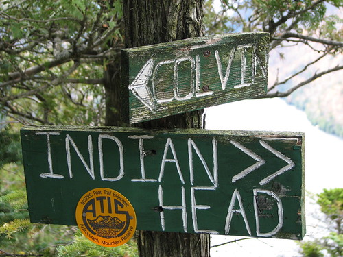
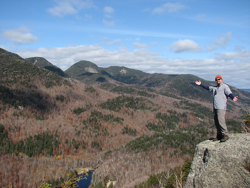
We finally hopped off the road and on to the Bypass Trail that would soon meet up with the Gill Brook Trail. From here we followed the signs until we stepped out on our first lookout. Nice. Moments later we were officially standing on Indian Head and looking at Ausable Lake surrounded by numerous high peaks.

Indian Head lookout
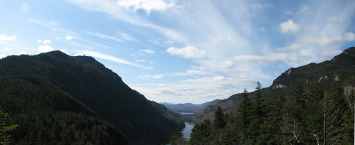
Ausable Lakes panorama from Indian Head

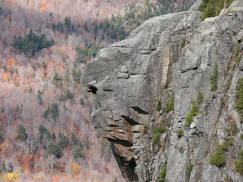
Here are a few shots of Indian Head from Fish Hawk Cliffs.

Indian Head
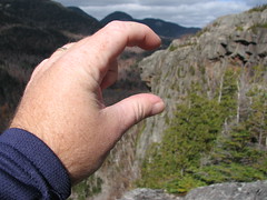
Indian Head's view Squishing Indian Head

Next stop, Colvin.

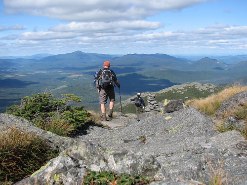
From Fish Hawk Cliffs we headed down towards Colvin and Blake. The trail was about 3 km from here with some ups and downs and even a scramble or two. The extra effort was well worth it though as the views from Colvin are sweet.

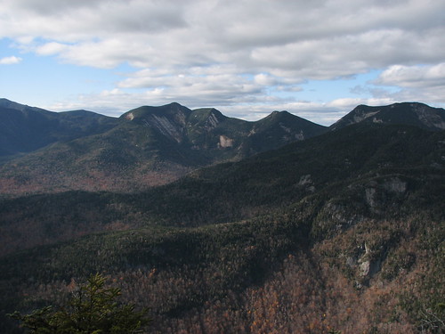
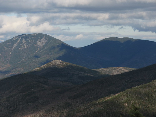
Haystack, Basin, Saddleback, Gothics
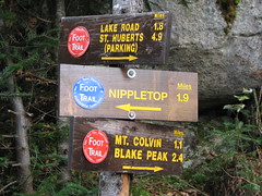
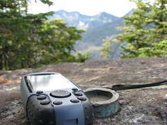
Nippletop - Colvin junction Colvin (4057') marker view
Giant, Rocky Peak (Noonmark, Round in front)
Giant, Rocky Peak (with Noonmark, Round in front)

And that should be it for peak baggin' in '08. No (viewless) Blake for us today. We left Colvin around 15:40 which meant that it was well dark by the time we finished the death march and arrived back at the parking lot. A quick stop for some fast food and coffee and we were ready to make the trip back to Ottawa.

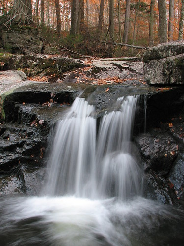
Falls on Gill Brook

Sunday, September 28, 2008

Foggy Phelps and a Misty Mount Jo

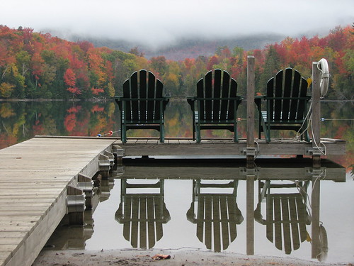
Three ADK chairs
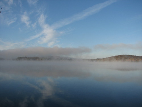
Early morning reflections on Heart Lake

Phelps
Elevation: 4161 ft (1268 m)
Peak: N44 09.420 W73 55.260
Parking lot: N44 10.945 W73 57.769
Distance: 16.2 km

The original plan was tossed. The weather called for 60% rain both Saturday and Sunday and we were no longer going to join Ken in mounting Dix and conquering his 46th peak. Time for plan B. Pack up and go camping at the Loj anyway.

The problem was not everybody bought into Plan B. Rick understandably didn't want to drive all the way down from T.O. to hike in the rain and Mike opted to stay home in his cozy bed. That left just Ken and I willing to throw caution to the wind and go for it. And we're glad we did. The weekend proved to be perfect hiking weather although admittedly the skies didn't clear up completely to allow us the awesome views we've become accustomed to. But it did stay dry.

Ken and I drove down via Ogdensburg making excellent time to Lake Placid where we stopped to pick up some snacks and a survival pack of Long Trail. We then checked in, set up camp, and headed back to the Lake Placid Pub and Brewery for supper (I highly recommend the Pulled Pork BBQ Sandwich). Hunger at bay, we headed back to camp for a fire and some pints.

Colden from Marcy Dam
Clouds on Colden

The next morning we woke to find a very gray sky but not a drop of rain. Sweet. A quick bite and a hot cup of joe and we were off to conquer Phelps, peak #32 on the 46er list. We both knew before hand that it was going to be very unlikely that we'd get a great view but hey, what else were we going to do but hike in the ADK? Besides I wanted to knock off another peak.

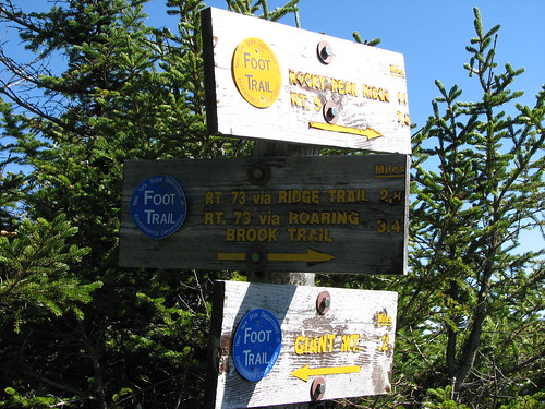
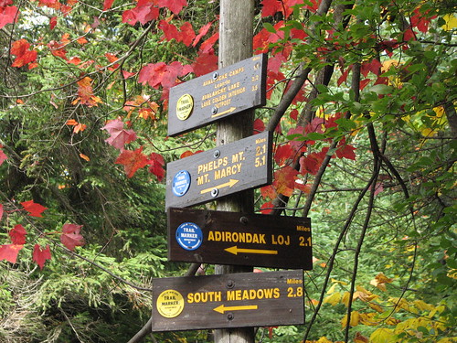
Sign, sign, everywhere a sign
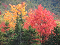
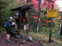
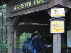
Splash of colour Signing in at Marcy Dam

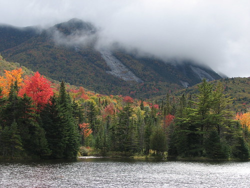
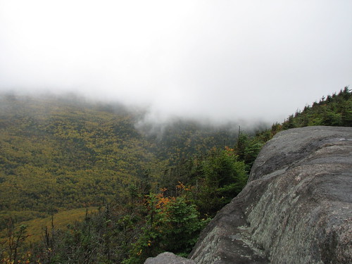
After a fairly flat hike from camp to the Marcy Dam we started our ascent. Some time later we arrived at the top of Phelps to find an empty slab of rock and, as we well expected, the view was less than spectacular. However from time to time the breeze would blow the cloud and fog away and we would be treated to a splash of fall colours. It was actually quite amazing how as the fog would come and go in a matter of seconds giving us a glimpse of the nearby peaks and the yellows and reds in the valley below. Mother Nature's magic show.

Soon the silence was broken as other hikers came rolling in. In a matter of minutes we were surrounded by about 25-30 people milling about eating lunch and chatting. One group was even cooking up some soup in an Irish kettle. Time to go.

A foggy Phelps
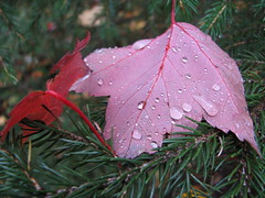
Dew drops on a red leaf Campfire tales

With another peaked bagged we hiked back to camp, showered up and drove into town for some supper. This time we hit the Railway Station Pub and again I was impressed by the food. Then back to the store for a few more snacks and a case of Long Trail Ale and we were ready again to relax around the campfire.


Mt Jo
Elevation: 2887 ft
Peak: N44 11.370 W73 58.010
Distance: 4.5 km

Another morning of rainless gray skies. This time we opted to stroll around Heart Lake with a side jaunt up Mount Jo. Again no view to speak of as we stood on top and imagined what the skyline would look like on a sunny day. At one point a thick mist rolled in and surrounded us with a surreal feeling like we were inside a cloud. In fact, I think technically we were.

Caught in a fog on Mount Jo
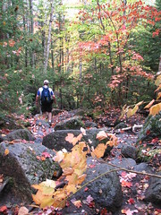
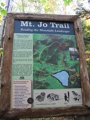
Rocks and leaves Mt. Jo Trail map

Coming down off Mount Jo, Ken led the way down a side trail that led back to Heart Lake where we veered to the right in order to complete the loop back to camp.

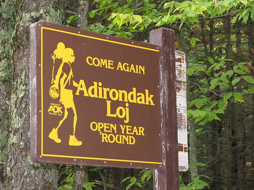
All said and done, we had a great (dry) weekend of camping and hiking. A perfectly executed Plan B. And like the sign says, we'll be back again... soon.

Loj, come again...

Wednesday, September 10, 2008

Algonquin, she's a beauty eh!

Hiking down Algonquin

Algonquin
Elevation: 5114 ft (1559 m)
Peak: N44 08.616 W73 59.214
Parking lot: N44 10.945 W73 57.769
Distance: 15.3 km

With the weekend forecast calling for rain I decided at the last minute to take the day off to enjoy some sunny midweek weather and join my buddy Mike on another hike in the Adirondacks. It was a damn good call.

After some debate on how cold and icy it was going to be above 4000' we finally decided to throw caution to the wind and just go for it - Noonmark out and Algonquin Peak in.

At 5114', Algonquin ranks as the second highest of the 46er peaks, second only to Mount Marcy. I was stoked. Mike has been telling anyone that would listen that this was his favourite 46er peak so far and I couldn't wait to get on the trail and see for myself.

Our first sight of our day's goal, Algonquin
First light Signing in

We were on the road by 5am and signing in the logbook by 8:45am. We made relatively good time hiking up the rocky trail stopping only briefly at the falls for a snack and a chat with some of the passing dog walking hikers.

After the falls we soon came to the cut off for Wright, another 46er peak. There was no decision to be made, we were Algonquin bound. After a couple of scrambles up some slabs we began to break through the treeline where the "wow factor" kicked in and the cameras came out. Needless to say our speed was greatly reduced at this point.

Big Slide thru the trees
Big Slide pops into view
Rock pass Wallface
Wright from Algonquin
Wright

Once we cleared the treeline entirely I just couldn't seem to stop pumping the button on my camera. There was so much to take in. The other peaks, Lake Placid, Vermont in the distance, the shadows, the clouds, the cairns, and the colours. The lichen had started to turn orange and yellow and all I wanted to do was roll in it but alas the signs and markers clearly indicated that this was frowned upon.

Some time later we finally reached the top and the 360 degree view was something that just can't be captured on film. We stopped to enjoy a quick lunch and then once again picked up the camera to wander around (stepping only on the rock of course) and explore the large summit. At some point we both agreed to pass on nearby Iroquois and Wright peaks in order to allow ourselves more time to soak it all in. Sweet.

Colden
Relaxing view of Colden
Lichen on the hillside Trail down Algonquin
Soaking in the view
Algonquin survey marker, 5114 ft IMG_7765

This was by far the most rewarding hike I've ever been on. The weather was perfect (I like it a little cool so I don't sweat my gonads off) and the views were absolutely breathtaking. I'm still on a high and find myself changing my computer's wallpaper every hour or so.

On top of Algonquin

Algonquin is definitely going on my repeat list... well, technically it's already on there if I ever want to be a 46er as it lies between me and Iroquois.

Wednesday, October 03, 2007

Slaying the Giant

Heading down Rocky Peak Ridge

Starting point parking lot: N44 08.333 W73 44.670
Giant (4627 ft, #12): N44 09.669 W73 43.211
Rocky Peak (4420 ft, #20): N44 09.286 W73 42.167
End point parking lot: N44 08.982 W73 37.593
Or click here to get a general idea of the area thanks to Google map.
And here's a link to the online topographical map.


Up the Giant and down Rocky Peak Ridge - 12 miles and 4000 vertical ft. This was my first real hike to bag not one but two of the 46 peaks over 4000 feet in the Adirondacks. What an adventure!

The day started with me waking up shortly after 4am and grizz picking me up around 5. We crossed over the border with out incident and after a slow drive down, following school buses and state troopers, we finally arrived at New Russia around 9:10. This is where we picked up Kenmore leaving his truck in this remote but safe parking lot for us to later use as a shuttle to get us back to grizz's car at the starting point.

Once back at the starting point, I double checked my pack to make sure I had my lunch and snacks and more importantly my 4L of water. Then I slathered up with some sunscreen I borrowed from grizz. Seems he left it in the trunk a little too long as all it managed to do was paint me white from head to toe. I laughed it off and took this to be initiation gag number one for the day.

From here we climbed, hopped, and crawled nearly 3,000 feet in 3 miles. I'm not sure if that was initiation gag number two but if it was it certainly was planned well in advance. And for those of you at home wondering what exactly 3000 vertical ft in 3mi means well imagine climbing a very steep set of stairs where the stairs are sometimes spaced 4 feet apart and strewn with rocks of all sizes and tangled with an endless string of tree roots. Actually on second thought there is no imagining, just go try it for yourself.

After hiking the Ottawa valley all summer, the climb was a little slow going for me. Combine that with the unseasonably warm weather (sunny and 25°C) and I was practically crawling. Thankfully Kenmore and grizz were more than willing to match my pace.
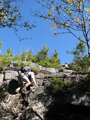
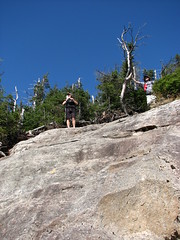
Scrambling up Scrambling up the Giant

Finally, some undisclosed time later, we arrived at the top of Giant. Sweet... stunningly sweet with just a splash of fall colour. And apparently a lunchtime hot spot with the local high school kids. Actually it turned out that all the high schools in the Lake Placid area had officially closed for "Mountain Day" and were out and about hiking the ADK trails. How awesome is that?
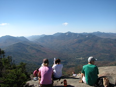
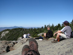
Lunch time on Giant A well deserved break on Giant

Giant and Rocky Peak sign

From Giant we headed off to tackle Rocky Peak at 4420 feet.

View of Rocky Peak from Giant

In hindsight, Rocky Peak was a piece of cake in comparison to Giant. Rocky offered us an awesome view of Giant which was no less awe inspiring from this angle. We were greeted at the top by a couple of not-so-young woman and then later by another flock of young and energetic high school girls. Their leader was a tough cookie and wouldn't let them sit for their break and then went so far as to encourage them to collect rocks from the nearby inukshuk to take back for their Geology class. One of them grunted and muttered that he already had dibs on the classroom door stopper. Can't say I blame him.

Here's a shot of the three off us with Giant in the background.
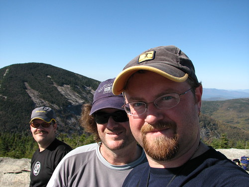
The trio on Rocky Peak

From this point on there was no turning back. Luckily it was mostly downhill along Rocky Peak Ridge all the way to our car sitting comfortably at 900 feet.
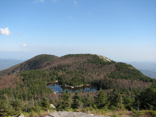
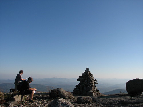
Lake Mary Louise on top of Rocky Peak Ridge
One last stop

Down down down we hiked. Daylight was fading fast and the last of our energy wasn't far behind. Then BLAMMO! We arrived at the parking lot, home to Kenmore's truck and a well deserved pint of ale. Total hiking time, 10hrs. That's got to be a record.

After shuttling back to grizz's car and changing into some clean clothes we hit the Lake Placid Pub & Brewery for some grub and then a quick stop at Price Choppers for some items only available in the US of A. We finally arrived back at home around 1am. Total trip, ~21 hrs.

A victory pose to say "I'll be back".
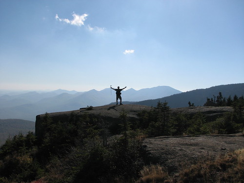
Victory shot


------------------------------------

Now as mentioned in Kenmore's blog... that wasn't quite the end of the story. Here's the excerpt:

"But that’s not the end of the story….. When you park your car in a lot and head into the woods for the day (anywhere) there is always a little niggling fear in your head that someone will break in to the car or vandalize it while your off soaking up the views. Its only happened to me a couple of times in the many years I’ve been playing in the woods but it hangs in my mind every time I lock up the car and walk into the woods. When we returned to my car after a long day on the trail we found the parking lot covered in water. It had not rained (not even any clouds) all day. We were perplexed…. And then Mike – upon arriving home – spotted an item in an internet hiking forum about a guy whose day went terribly wrong. Seems his car “self ignited” (electrical fire?) when he parked it in the lot. The owner happened to return to his car 10 minutes after he left for his hike. He discovered he’s forgotten something but returned to find his car engulfed in flames(note Kenmore's truck in the background). Enter the volunteer fire department to the rescue that luckily was able to arrive to put out the flames before the tinder dry forest erupted into a conflagration(it hasn’t rained much all year and the forests are dry). My truck – escaped unscathed. Don’t tell me the good karma I’ve logged over the summer helping hikers in the woods didn’t pay back for me today. I can’t imagine what we would have done if we stumbled out of the woods at last light to find my car in embers and a State Trooper looking to collect some information from me for the “report”. I can’t imagine… but I probably will try for a while.

The car (smoldering hunk of metal?) had been hauled away by the time we came out of the woods. I'm still debating if my truck had a more exciting day than I did... "