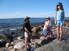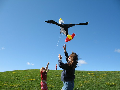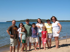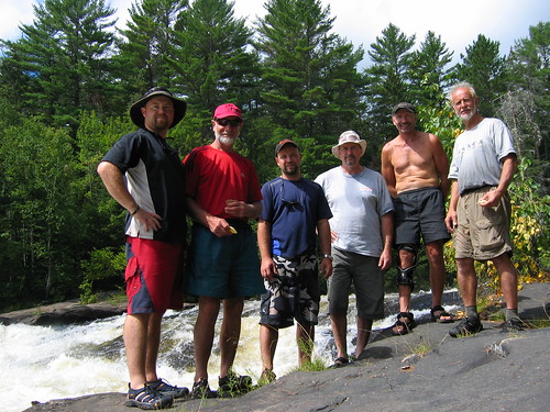
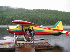
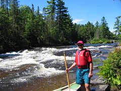
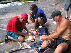
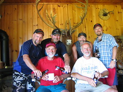
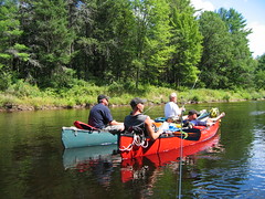
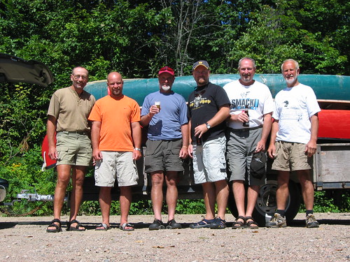
Left to right: Bryan, Marty, little Jan, Dan the Plumber, Bruce, big Jan
We were running extremely late this year in organizing our annual canoe trip and after tossing around a few ideas we finally came up with a general region. That region being home to the infamous "Triple Play" rivers in Quebec - the Dumoine, the Coulonge, and the Noire. So 3 days prior we booked the flight. Luckily they didn't need to know which river we were heading to until take off time Sunday morning when they actually rang up our bill and told the pilot where to go.
Day 1: Decision time
Only hours before take off time and we still hadn't decided which river we would spend the next week paddling. Dumoine? Nah, too busy and we've done it twice already. Ok, Coulonge or Noire?
Well around 10pm Saturday evening in a private campground only a couple of kms from Air Swisha we took a final vote and decided to try out the only river of the 3 that we had not yet conquered. The Noire. Even though everything we had read about the Noire said "do early in the summer when the water is at its highest" we decided to take the gamble and go for it. Our decision made, it started to rain.
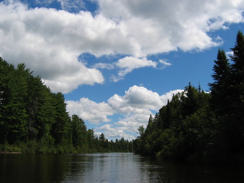
Day 2: Lac Forant
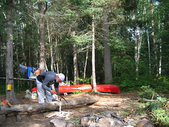
Although we were scheduled for an 8am take-off, an early morning fog kept us on the ground until around 9:30. A little foggy ourselves from the night before, we used the delay wisely and downed a couple cups of coffee and a hearty breakfast at the nearby restaurant/watering hole. The Sunday morning Rapides-des-Joachims locals turned out to be very entertaining to say the least.
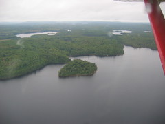
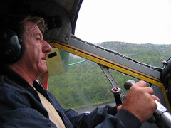
Apparently things had changed since the last time we had flown and bush pilots are now only allowed to take in one canoe at a time. Back in the day we had one daring pilot actually strap on 3 canoes. Anyhow the flight was only about 40 minutes and we all arrived safely at Lac Forant around 11am.
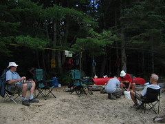
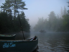
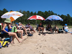
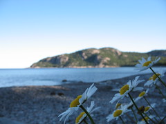
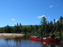
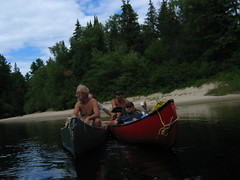
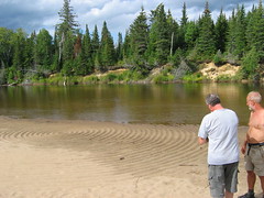
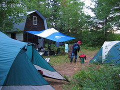
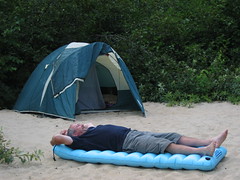
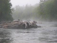
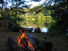
First camp was on a nice sandy beach just above "The Wall".
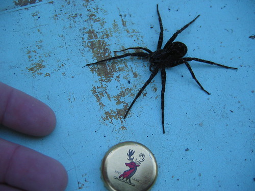
Dock spider - found this monster in the bottom of our canoe in the morning.
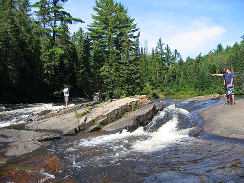
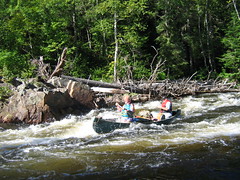
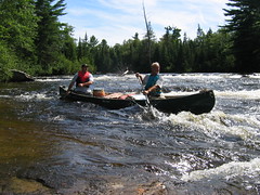
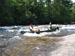
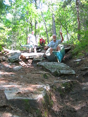
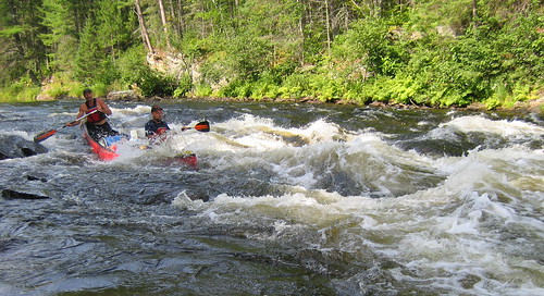
Day 3: Targie and Canyon Stairs
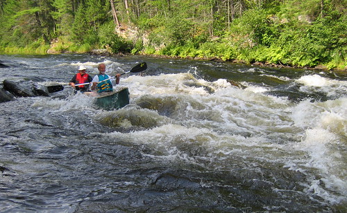
On day 3 we hit a few rapids and as we had hoped the water was high giving us a good ride. Our day ended at a campsite at the top of Mountain Chutes.
Day 4: Mountain Chutes, Islet, L'Ours, Hunt Club
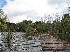
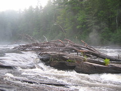
The morning started out with what Hap Wilson had termed the "Portage from Hell". In total it was 1.3km long and ended in a near vertical drop of about 40-50m.
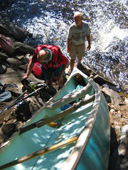
Here we're lowering down the last canoe by rope. By far, the safest way to get a 90lb Old Town Tripper down a jagged rock slope.
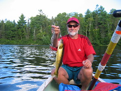
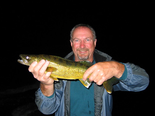
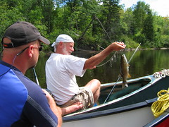
After two days at being skunked we finally landed some nice fish. Pickerel, bass, and whitefish. With what appeared to be a storm rolling in we decided to quickly set up camp at Hunt Club rapids. The actual hunting camp was locked up tight but thankfully the outhouse wasn't. Note if I ever decide to build an outhouse I'll line the "seat" with SM blue styrofoam - man that stuff warms up nicely. Back when I worked at Rehill's we delivered this stuff everyday, little did I know then how multi-functional it was.
Day 5: 50:50, Manitou, Jam Rock
We had aimed for the campsite at 50:50 but unfortunately somebody else had drove in there and set up family and friends for the entire week. This left us little choice but to push on another 10km to the next site between Manitou and Jam Rock.
Day 6: Last full day on the river
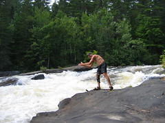
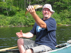
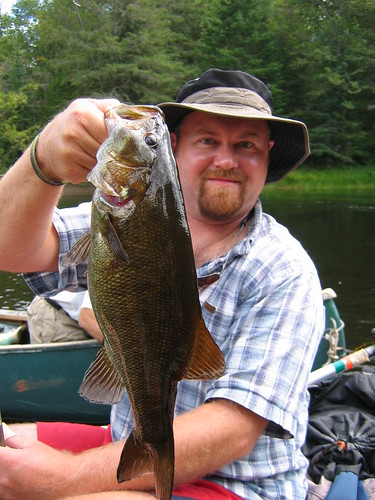
The day started with a 14km roll down C1-2 rapids all the way to the Black River Inn. Luckily we arrived around opening time and relaxed to a couple of noon hour pints. Then back on the river for a floating lunch which turned into a floating fishing derby where I caught a huge bass.
Day 7: Waltham Station Dam
We hit ground zero around 11:30 and washed up in an attempt to blend back into society. Then we immediated cracked open a few refreshing pints and listened to some Stompin' Tom Connors.
><((((º>
><((((º>
><((((º>
For the complete slide show click here.
Post a comment below if you're interested in getting a copy of the GPS file and waypoints (MapSource format which can be converted to whatever). Email: tripper.fam (at) gmail (dot) com