NY State Foot Trail sign with Mount Marcy in the background.
Pitchoff Mountain
Elevation: 3600' (1097m)
Peak: N44 14.250 W73 52.632
Parking lot (west): N44 13.102 W73 53.366
Parking lot (east): N44 14.617 W73 50.731
Distance: 9 km
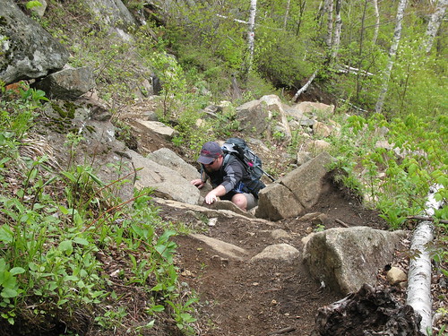
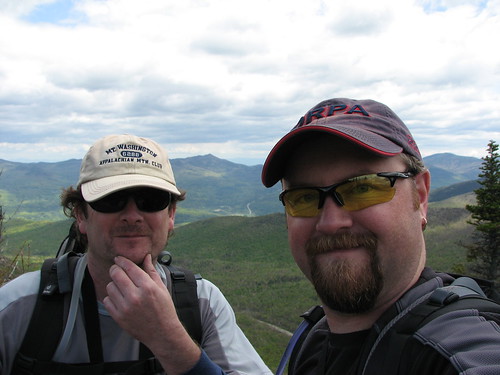
Today marked the official start of the '08 Adirondack hiking season and with 6-8 feet of snow sitting on most of the peaks above 4,000 feet Mike and I elected to tackle something a little lower. After shifting through a short list of prospects we narrowed it down to a Pitchoff traverse.

At 3600', Pitchoff is the perfect peak to get the legs back in shape... ok seriously, I doubt my legs will ever be ready for this kind of hiking but through shear willpower my mind (and camera) refuses to let them rest.


Every time we broke through to another ledge grizz would give me another run through the names of the 46er peaks in view (those above 4,000'). Right to left, Algonquin, Avalanche, Colden, Phelps, Tabletop, Marcy, Haystack, Basin, Big Slide, Cascade, Giant, Rocky Peak, and Hurricane with its fire tower barely visible. "Pardon Grasshopper? Yes you're right, Hurricane is not a 46er peak. Very good Tripper-san."


After a lunch break on Pitchoff we continued on our way through a small valley and up onto, you guessed it, another great vantage point. Sweet.


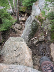
Heading east off Pitchoff is definitely a steeper descent following and often crisscrossing a little creek nearly the entire trip down to the parking lot. Upon reaching the road we started hitchin' for a ride back to the car. Although grizz is a veteran at this, having thumbed it from Calgary to Vancouver before, he wasn't having a whole lot of luck. He did however manage to find the time to chat up a bird while she slooooowly pumped the pedals up that long steep hill. Unfortunately for him she was a little too busy to jot down some digits.
Finally I stepped out of my hiding place and snagged a ride from a NJ couple heading up the road to hike Mount Marcy (umm, 8 feet of snow, ahh, doubtful). Rather than scare them off I let Mike take the ride to get his car. Seconds after he drove off a State Trooper pulled over and offered me a ride. I had to decline for fear of missing Mike when he returned. This of course left me with a series of questions to answer from the State Trooper. I left out the part about us hitchhiking just in case.

Finally, be sure to check out the following link. Select "USGS topo" from the pull-down tab then run the mouse over the little blue circles to see which photos we took at which point along the trail. Another snazzy little widget from EveryTrail.
No comments:
Post a Comment